![]()
Data, Reports, and Deliverables for TNC EESLR MD SLAMM Project
SLAMM model inputs and outputs under EESLR 2019: "Quantifying the benefits of natural and nature-based features in Maryland's Chesapeake and Atlantic Coastal Bays to inform conservation and management under future sea level rise scenarios."
Marsh Projections Final Project Report (pdf)SAV Projections, Final Report
SAV Appendix A, Spatial Maps
SAV Appendix B, Box Plots
SLAMM Model Inputs
SLAMM Model Outputs
Land-cover Projections, WGS84 (1.3GB)
Land-cover Projections, UTM18N (1.5GB)
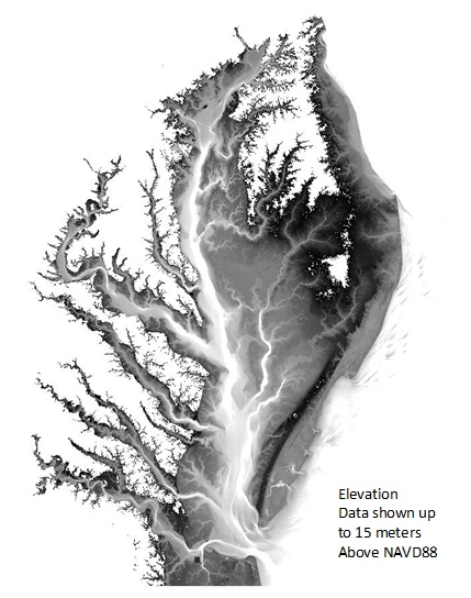
Elevations in NAVD88 (36.0GB, WGS84)
SAV Model Inputs and R Scripts
All Spatial Model Inputs (GeoTiff, 2.8GB)
R Scripts (.R)
SAV Model Outputs
Predictions and Projections (GeoTiff)
These data and related items of information have not been formally disseminated by NOAA, and do not represent any agency determination, view, or policy.