Data, Reports, and Deliverables for NYSERDA SLAMM Project
Click here for the 2015-2016 NYSERDA Update
INPUT DATA:
Rasters and Shape Files
NY and Long Island Sound Tide Shapefiles Great diurnal tide range data derived from NOAA CO-OPS stations, NOAA 2011 tide table predictions, and LIShore.org historical data.
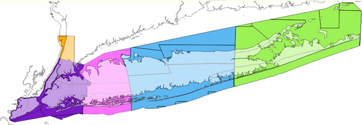
SLAMM Input Rasters
Hudson (74 MB)
NYC (283 MB)
Nassau (171 MB)
Suffolk West (216 MB)
Suffolk East (218 MB)
Memos/Supporting Documents
Sea Level Rise Scenarios (updated 4/30/2013)
MODEL OUTPUTS:
Final Report: NYSERDA #14-29
Excel Results
GIS Results
Hudson (3.1 MB)
NYC (91.5 MB)
Nassau (42.4 MB)
Suffolk West (51.6 MB)
Suffolk East (78.1 MB)
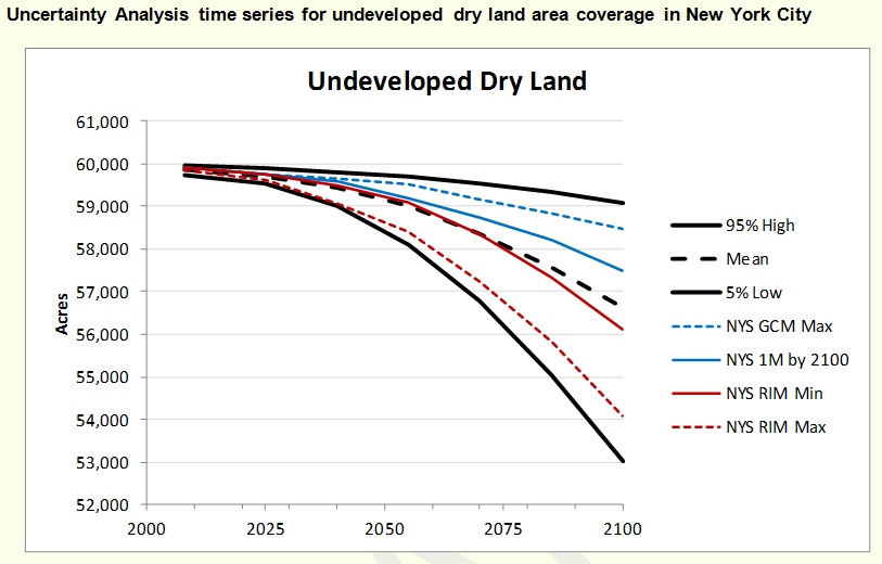
Uncertainty Maps (all sites) (215 MB)
Histograms of Uncertainty Results (all sites)
Supporting Information
Raster Metadata


